Pictograms
The primary element of the navigation system is the pictograms. Their distinctive feature is that almost every symbol is built around a human figure. Instead of showing only the object itself, I show a person interacting with it. For example, a café is represented by a person sitting at a table, a bridge by a figure on the bridge, and a sports field by a person performing an exercise. This allows for the transmission of not only the name of the place, but also its function.
Taurida Garden Map
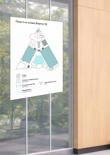
The map is the most informative element of the navigation system. It helps the visitor grasp the overall structure of the garden, determine their current location, and select a subsequent route.
The map is displayed on a large information stand at the garden entrance. Here, a person can gain a general overview of the grounds even before beginning their tour.
Thus, the map is responsible for initial orientation, while the other navigation elements assist in moving toward the chosen destination.
Three types of navigation columns
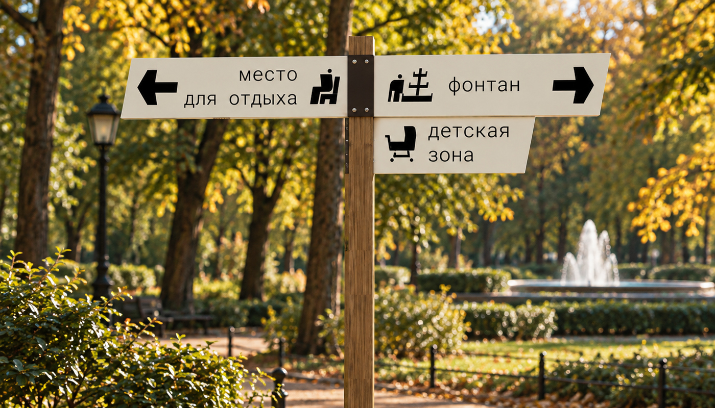
High Signage — 2.5 Meters
High signs are placed at junctions and where several routes intersect.
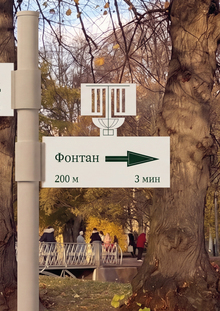
Their primary function is to help a person decide where to go next. The horizontal panels display arrows, pictograms, and the names of destinations located in various directions.
Mid-way Signage — 1.2 Meters
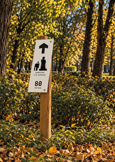
Mid-way signs are placed directly along the route after the visitor has already selected a direction.
They indicate that the journey continues in the correct direction and state how many meters remain to the destination.
The panel displays an arrow, an object pictogram, and a numerical indication of the remaining distance.
Small Signage — 90 Centimeters
The smallest signs serve to confirm direction.
They are placed in areas where the route continues without the need to choose a new path, but a visitor might still hesitate about whether they are going the right way.
They display a minimal amount of information: an arrow and a point of interest marker.